About Meyers Pier
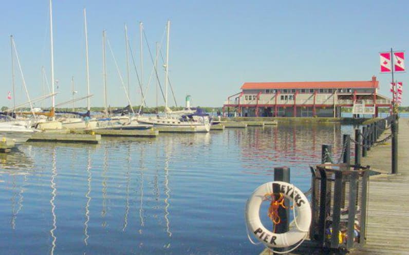
Meyer?s Pier dates back to 1789 when Belleville was first known as Meyer?s Creek after John Walden Meyers, a prominent settler and industrialist of the day. Meyer?s Creek was built around the original Native settlement of Asukhknosk at the mouth of the Moira River. It is owned and operated by the City of Belleville and is a fully equipped marina with plenty of docking facilities for overnight travelers. Dockage may be had by the day, month or season as well as there being a number of transient slips for boaters stopping by to refresh their stocks. Boaters will find water, power, washrooms, showers, pump-out, gas, diesel, and laundry facilities here .
Einrichtungen
 BenzinDiesel
 Duschen
 Toiletten
 Essen
Essen Bootsbauer
 Wäscherei
 Auskranen
 Strom
Strom Wasser
COORDINATES
44.15336 N, 77.37629 W
Port Information
Telefon
Berth Sizes
< 10m, 10-20m, 20m+
Tiefe bei MLW
3m+
Manövrierbarkeit
Fair
Channel Marking
Fair
Overseas Visitor Berths
Yes
Stegart
Floating
Style Side To
Yes
Style Stern To
Yes
Tidal Flow
Negligible
Active Winter
Yes
Weather Forecast
Tue
9AM - 1PM
28 July 2026
 S 5–8 knots.
 22 to 24°C
 Chance of showers
Tue
1PM - 5PM
28 July 2026
- S 4–6 knots veering N 4-6 knots.
- 23 to 26°C
 UV Index: 6 - High
- Rain
Tue
5PM - 9PM
28 July 2026
- N 3–5 knots.
- Decreasing from 24 to 20°C
- UV Index: 0 - Low
- Chance of showers