About Luka Dobropoljana
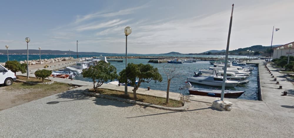
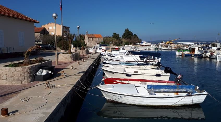
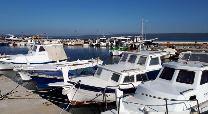
The port of Dobropoljana covers 15,410 m 2, of which the land area is 2,851 m 2, and the sea area is 12,559 m 2. The port of Dobropoljana is entirely intended for communal communication. The port of Dobropoljana is a small port on the NE side of the island of Pašman. The vessel can be moored on the N pier of the port from the inside and outside. Part of the pier in the port was demolished and partially sunk. The port is protected from all winds except the bora. Waves on the outside of the N pier are also caused by the mistral, while the inside of the harbor is protected. Other berths in the port are intended for municipal berths.
Instalaciones
 Supermercado
 Baños
Baños Comida
 Bar
BarCOORDINATES
43.99243 N, 15.32538 E
Port Information
Teléfono
Correo Electrónico
Berth Sizes
< 10m
Profundidad en Marea Baja Media
2 - 3m
Maniobrabilidad
Fair
Channel Marking
Fair
Overseas Visitor Berths
Yes
Tipo de Muelle
Fixed
Style Stern To
Yes
Tidal Flow
Negligible
Weather Forecast
Fri
1PM - 5PM
10 July 2026
 SW 10 knots.
 30°C
30°C Sunny
Sunny
Fri
5PM - 9PM
10 July 2026
- SW 9 knots decreasing to 4 knots.
- Decreasing from 31 to 25°C
 Calm sea
 UV Index: 0 - Low
- Sunny
Fri
9PM - 5AM
10 July 2026
- Light and variable.
- 21 to 25°C
- Calm sea
- UV Index: 0 - Low
- Mostly fine