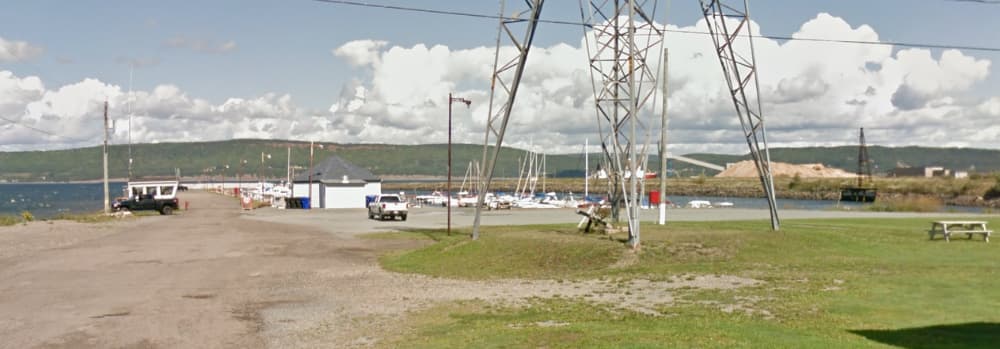
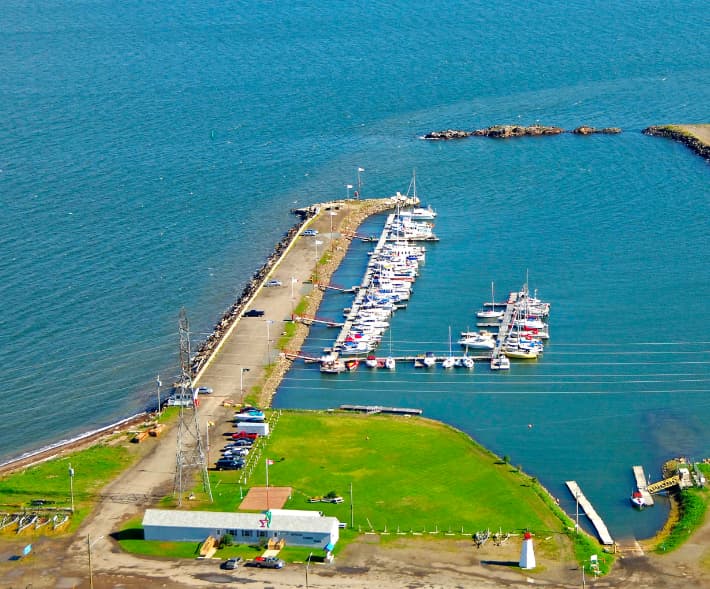
About Dalhousie Regional Marina
The marina is situated at 111 Rock Island Road, Dalhousie, NB, with coordinates approximately 48° 3' 56.77'' N, 66° 22' 58.26'' W. Facilities and Services: Docking: The marina has berths for various vessel sizes, with a maximum length of 50 feet and a minimum depth of 5 feet. Utilities: Water, electricity (20A and 30A), fuel (gasoline and diesel), and ice are available. Amenities: Restrooms, showers, Wi-Fi, and laundry facilities are provided for visitors. Technical Support: Services like waste disposal, sludge pumps, and used oil recycling are available. There’s also a shipyard, crane, and travel lift for maintenance needs. Accessibility: The marina is equipped with a launching ramp for easy access. Navigation: The approach to the marina is marked by the EX 7 buoy northwest of the harbor entrance, ensuring safe navigation. Nearby Attractions: The marina is close to restaurants, shops, and scenic spots, making it a great base for exploring the natural beauty and cultural richness of New Brunswick. Contact Information: For inquiries, you can reach the marina at 506-684-5298. Dalhousie Regional Marina is known for its picturesque surroundings and friendly staff, making it a welcoming spot for both amateur and experienced sailors. Dalhousie Regional Marina is listed as a marine Telephone Reporting Site (TRS) by the Canada Border Services Agency (CBSA). This means it serves as a designated Port of Entry for private pleasure craft. Vessel operators arriving at the marina must report their arrival to CBSA by telephone unless directed otherwise by an officer. https://www.cbsa-asfc.gc.ca/do-rb/services/trsm-sdtm-eng.html?form=MG0AV3&form=MG0AV3

Installations
Port Information
Téléphone
Berth Sizes
Profondeur à la marée basse moyenne
Manœuvrabilité
Channel Marking
Port d'entrée
Overseas Visitor Berths
Type de quai
Style Side To
Style Stern To
Tidal Flow
Active Winter
Weather Forecast
 E 8–11 knots.
 16 to 21°C
 Cloudy
- E 10 knots decreasing to 6 knots. Gusts up to 16 knots.
- 15 to 21°C
 UV Index: 1 - Low
- Chance of showers
- E 7 knots decreasing to 4 knots.
- 13 to 16°C
- UV Index: 0 - Low
- Cloudy