About St. Andrews Harbour
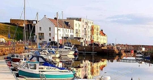
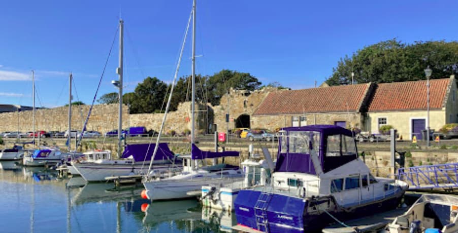
St Andrews Harbour is a tidal port located at the mouth of the Kinness Burn, supporting both fishing and leisure activities. It is managed by the St Andrews Harbour Trust and offers visitor moorings, a slipway, and community-focused amenities. Ownership: Fife Council Management: St Andrews Harbour Trust Usage: Leisure, Fishing (municipal harbour) 🛠️ Facilities & Services Slipway Access (Harrow): Located at the southern end of the Inner Basin and accessed via Woodburn Place. Launching and recovery are restricted to approximately two hours before and after high tide, due to tidal limitations. Visitor Berths: Pontoon moorings are available for visiting leisure craft. Vessels must not approach without prior permission and should report to the harbour office on arrival to arrange berthing and access (key fob for secure gates). Pontoon moorings are not suitable for yachts with deep keels. Toilets and Showers: Available near the harbour area for visiting crews. Electricity and Water: Supplied to visitor berths, available upon request. Flares Disposal: The St Andrews Coastguard Rescue Team accepts expired marine pyrotechnics. Their station is located approximately 500 m south of the harbour near East Sands. Appointments are required—contact the UK Coastguard (Aberdeen CGOC) at +44 1224 592334. Recreational Area: An outdoor playground and fitness circuit is located in the Green Links area, between the harbour and East Sands Beach. Nearby Services: Public telephone, accommodation, restaurants, cafés, fuel (off-site), and chandlery are available within short walking distance in the town centre. 📍 Contact Information St Andrews Harbour Trust Address: Inner Basin, Woodburn Place, St Andrews, Fife, Scotland, KY16 Website: www.standrewsharbourtrust.org General Inquiries: via website contact form 🔄 Seasonal Operation Summer Season (April 1 – September 30): Monday to Friday: 08:00–17:00 Saturday & Sunday: 08:00–12:00 Winter: Open with reduced hours. Contact the Harbour Trust in advance for winter visits or special access.
Einrichtungen
 Strom
Strom Wasser
 Toiletten
 Essen
Essen Supermarkt
 Medizinische Einrichtungen
 BenzinDiesel
 Recycling
 Bar
Bar Wäscherei
 Märkte
 Zollabfertigung
Port Information
Telefon
Berth Sizes
Tiefe bei MLW
Manövrierbarkeit
Channel Marking
Einreisehafen
Overseas Visitor Berths
Stegart
Tidal Flow
Weather Forecast
 W 6 knots increasing to 8 knots.
 Increasing from 9 to 12°C
 Calm sea
 UV Index: 0 - Low
 Mostly fine
- W 9 knots increasing to 12 knots. Gusts up to 18 knots.
- Increasing from 13 to 17°C
- Calm sea
- UV Index: 4 - Moderate
- Mostly fine
- W 11–15 knots. Gusts up to 21 knots.
- 16 to 18°C
- Calm sea
- UV Index: 4 - Moderate
- Cloudy