About Chicago Harbor
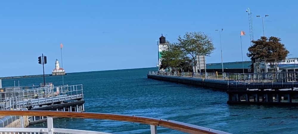
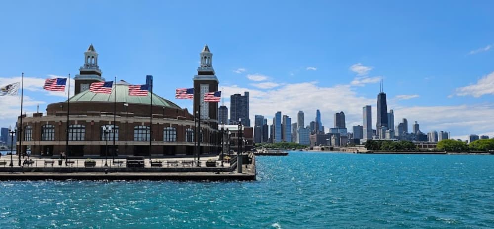
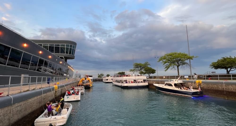
The Chicago Harbors consist of 10 beautiful harbors situated along Chicago’s 14-mile lakeshore that together constitute the nation’s largest municipal harbor system. Founded in 1833, the harbors have long been the primer attraction along Lake Michigan with spaces for over 6,000 boats and drawing thousands of boaters each year. With an occupancy rate in excess of 95%, the harbors are proud to represent the connection between Lake Michigan and the City of Chicago and have long been touted as the city’s “best kept secret”. Each of the 10 harbors has their own specific neighborhood feel. Starting in the north, Montrose, Belmont, and Diversey Harbors have been favorites among families for their location near park spaces and easy access. In the heart of the city you’ll find DuSable, Monroe, and Burnham Harbors that feature stunning skyline views, easy access to downtown and the world-renowned museum campus. Further south is the nation’s newest and greenest harbor, 31st Street Harbor, with spaces for 1000 boats and state-of-the-art amenities. Then in the south, the beautifully located 59th Street and the Jackson Park Harbors have unparalleled charm set in the lagoons of the 1893 Columbian Exposition with beautiful museums and beaches near by. Fuel Docks: Available at multiple harbors, providing both gas and diesel. Dry Storage: Offered at several locations, including Belmont and Montrose Harbors. Pump-Out Stations: Complimentary waste pump-out equipment is available. Mast Stepping: Services for stepping and unstepping masts are available at Belmont Harbor. Chicago Harbor is indeed a port of entry, which means it has facilities for customs and immigration services for boats arriving from international waters. This makes it convenient for international boaters to enter the United States through Chicago.
Einrichtungen
 Strom
Strom BenzinDiesel
 Wasser
 WLAN
WLAN Duschen
 Abwasser
 Toiletten
 Recycling
 Essen
Essen Bar
Bar Bootsbauer
 Wäscherei
 Supermarkt
 Auskranen
 Medizinische Einrichtungen
Port Information
Telefon
Berth Sizes
Tiefe bei MLW
Manövrierbarkeit
Channel Marking
Einreisehafen
Overseas Visitor Berths
Stegart
Style Side To
Tidal Flow
Active Winter
Weather Forecast
 N 20 knots decreasing to 17 knots. Gusts up to 26 knots.
 21°C
21°C N 1.0m at 4s period
 UV Index: 0 - Low
 Cloudy
- N 17 knots decreasing to 15 knots. Gusts up to 21 knots.
- 20°C
- N 1.0m at 4s period
- UV Index: 8 - Very High
- Mostly fine
- N 13–17 knots.
- 21°C
- N 0.9m at 4s period
- UV Index: 8 - Very High
- Sunny