PredictWind Apps.
Over 1 million users trust our weather forecasts and tools for coastal cruising, offshore passages, racing and water sports.

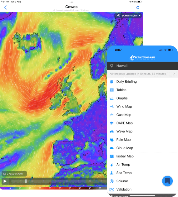
PredictWind App
Marine forecasts and tools
Mobile data and wifi
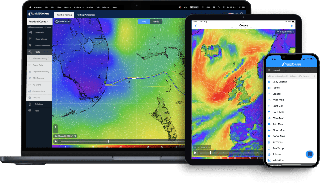
Free

Ed Gorman
Sailing Correspondent, The Times, 1996-2006
“Completely reliable, an essential part of the daily routine onboard.”

Offshore App
Optimized for Offshore
Satellite connections
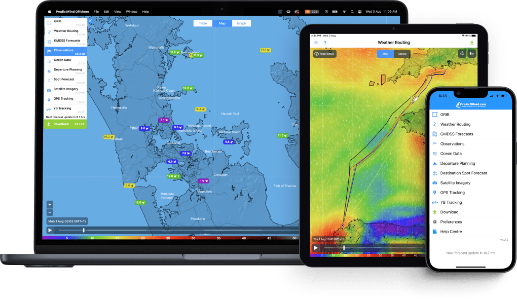
Free

Nathan Outteridge
9x World Champion, Olympic Gold Medallist
“The most used app on my phone, Don't know what I'd do without it.”