Predictwind Logo

Offshore App.

Forecasts and tools via satellite connection, for offshore passages.

Prediect wind offshore tracker app
  • For Satellite & SSB Connection
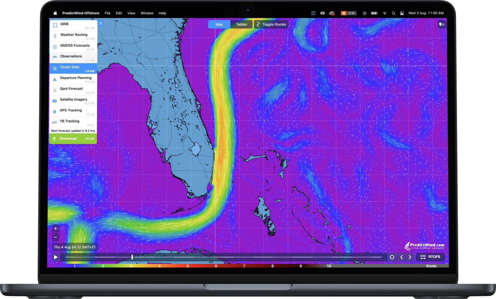
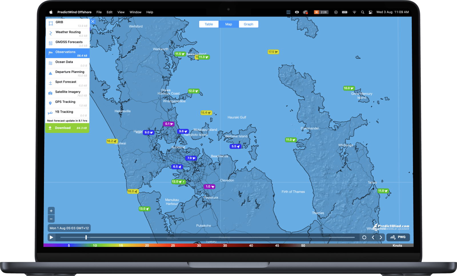
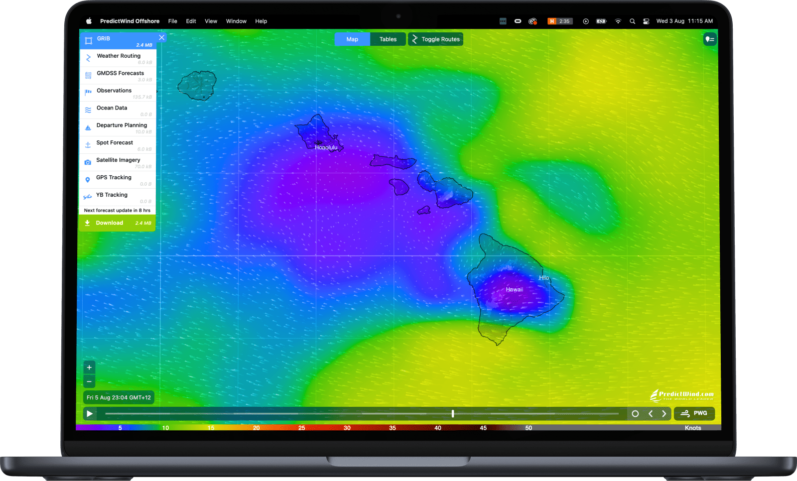
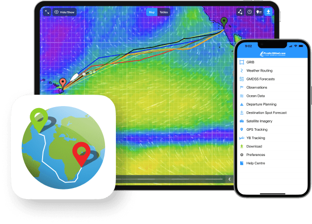
  • GRIB Viewer
  • Highly compressed file sizes
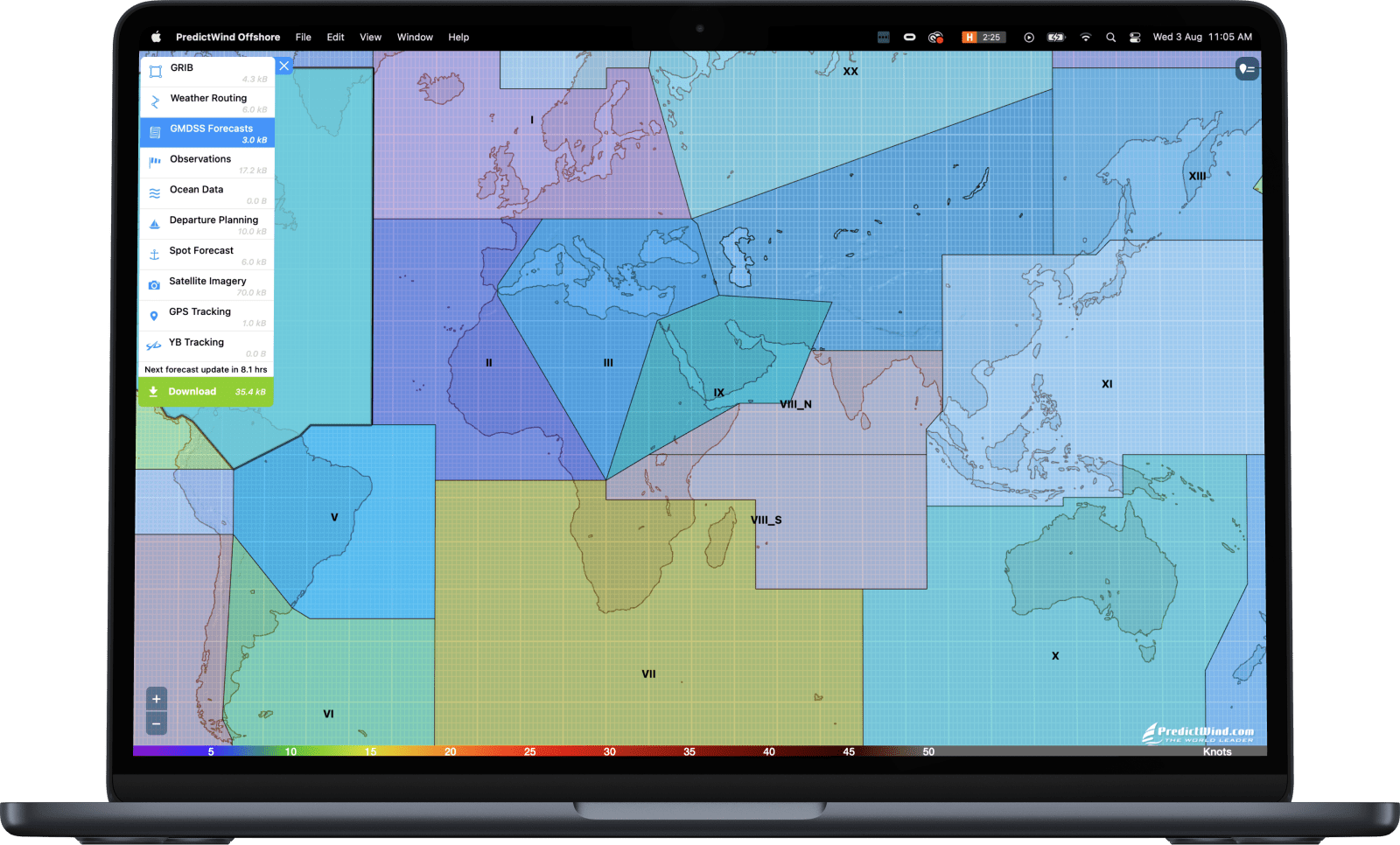
  • GMDSS Forecasts
  • Satellite Imagery
Offshore app

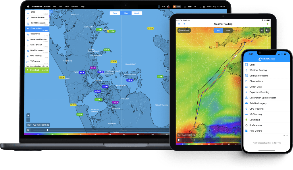
The Offshore App is designed for boats heading offshore with a need to download forecast GRIB data on a satellite or SSB connection.


Available on Windows, Mac, iOS, Android, Chromebook and Raymarine

Optimised downloads

All forecast data is highly compressed to keep download times and costs to a minimum.

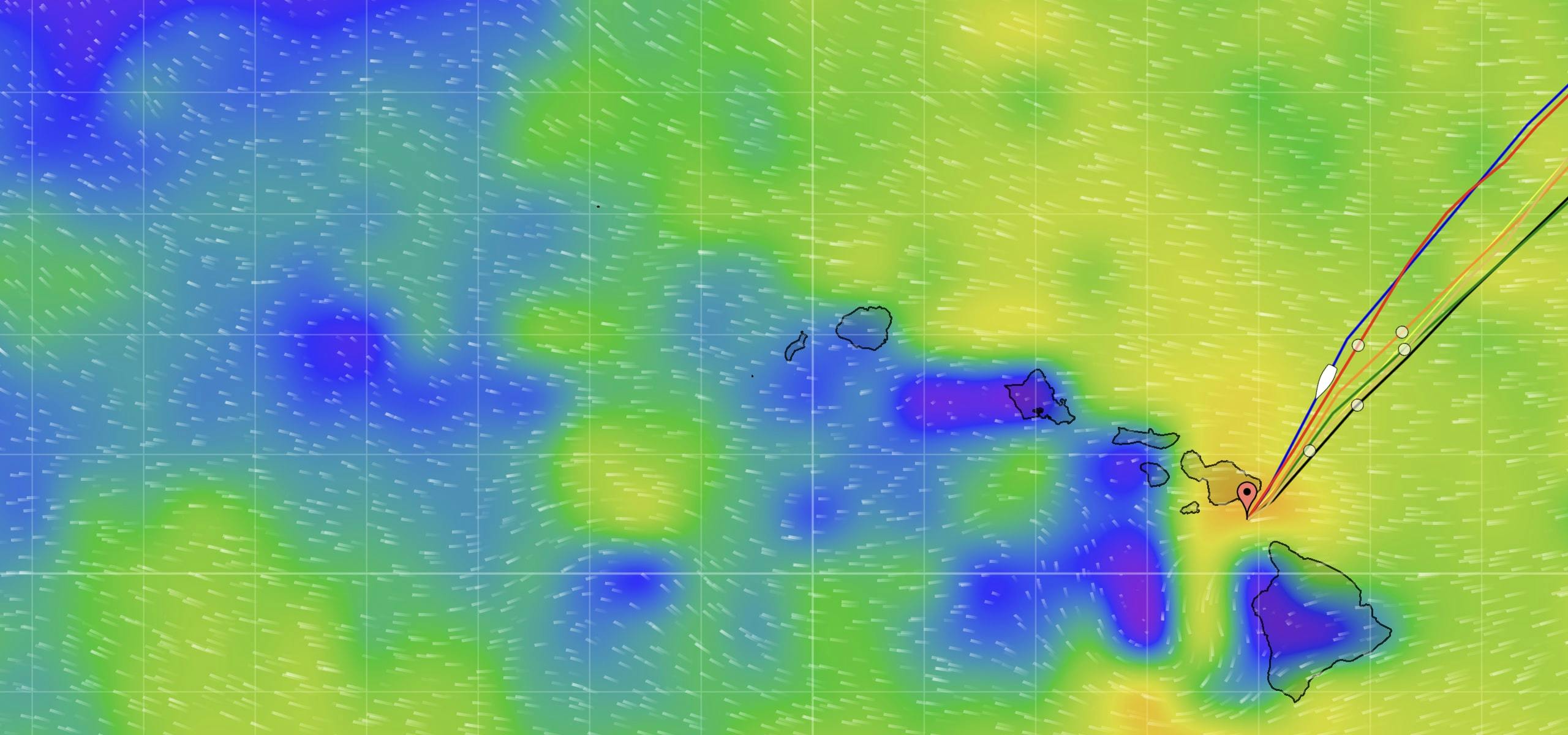
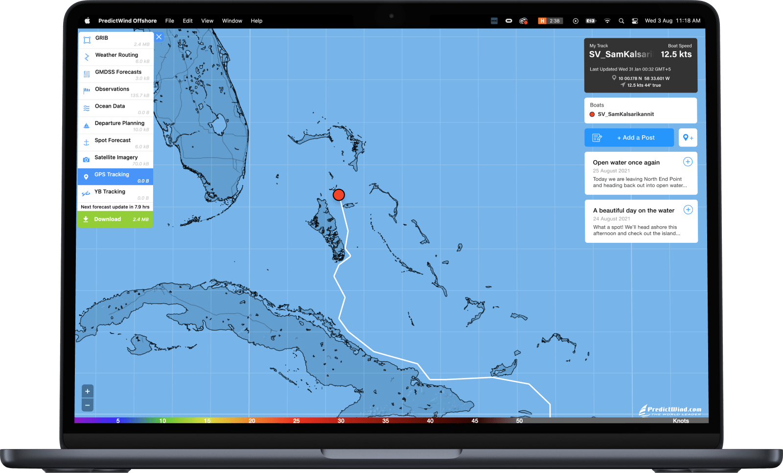
Access data without downloading

Cloud-based Weather Routing gives access to powerful high resolution forecasts in a tiny 6kb file size.

Universal integration

The Offshore App has seamless integration with most satellite and SSB systems.
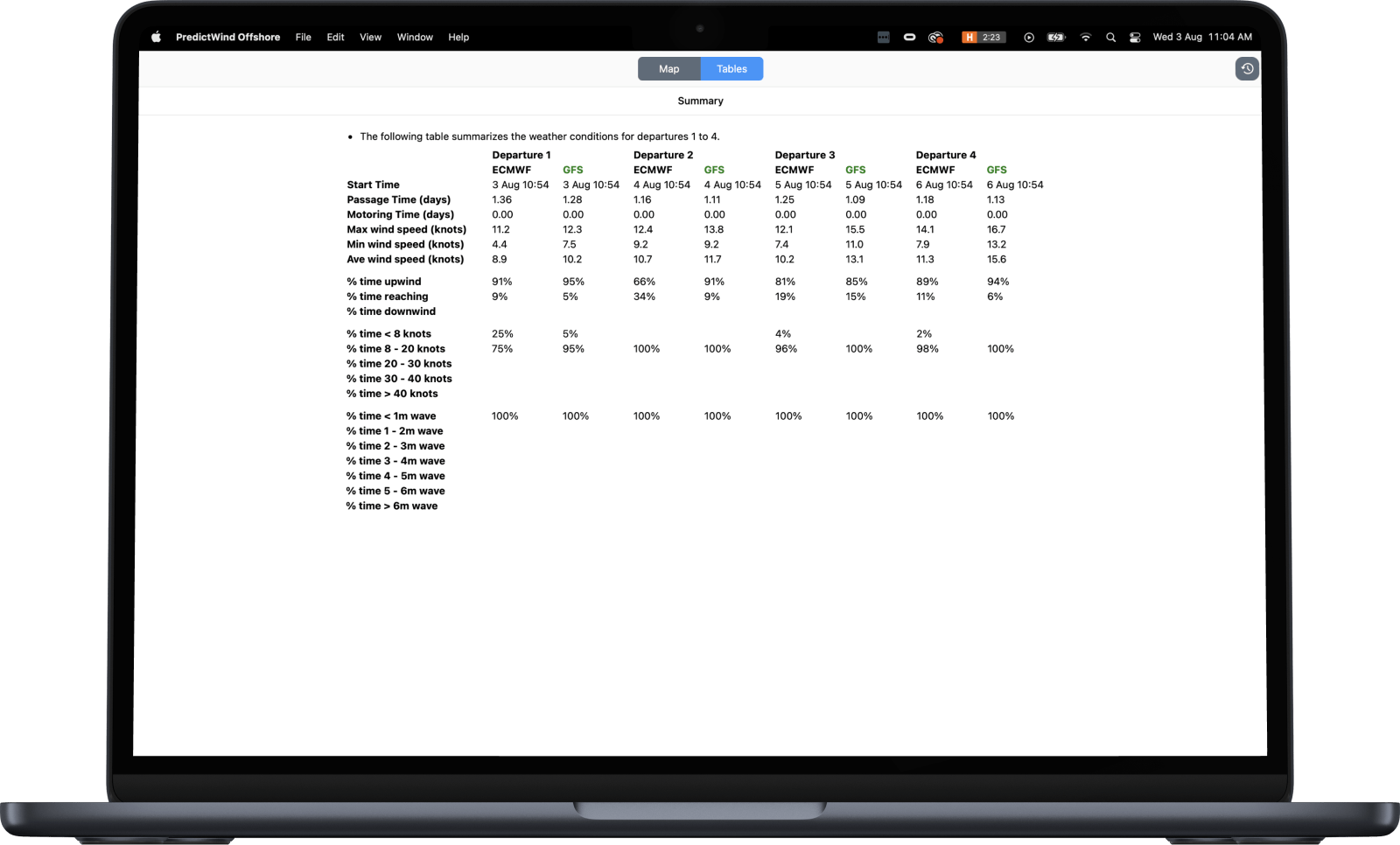
Forecast confidence

Compare all of our weather models: ECMWF, SPIRE, UKMO, GFS, PWG, PWE plus more regional models.
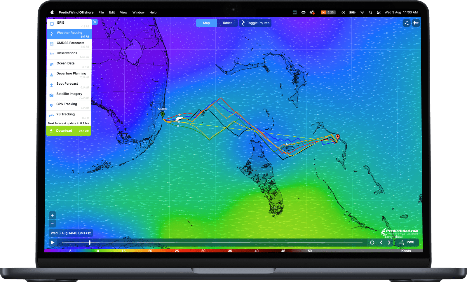
Powerful tools

Powerful forecast tools that are easy to operate including Weather Routing and Departure Planning.

Outstanding customer support

Our support team of experienced sailors and marine experts get you the help you need, fast.

Forecasts

Wind icon
Wind
Gust icon
Gust
Cape icon
Cape
Wave icon
Wave
Rain icon
Rain
Cloud icon
Cloud
Pressure icon
Pressure
Air Temp icon
Air Temp

Tools

Weather Routing icon
Weather Routing
Departure Planning icon
Departure Planning
GMDSS Text/Map icon
GMDSS Text/Map
Observations icon
Observations
Ocean Data icon
Ocean Data
Destination Spot Forecast icon
Destination Spot Forecast
Satellite Imagery icon
Satellite Imagery
GPS Tracking icon
GPS Tracking
YB Tracking icon
YB Tracking
AIS Data icon
AIS Data

Download the Offshore App

A Standard/Professional subscription is required to download GRIB files on a Satellite/SSB connection, and to use the Weather Routing/Departure Planning tools.