We use cookies on this website to provide you with the best experience possible - more info
PredictWind provides the top ranked global forecast models. PredictWind also produces their own ultra-high 1km resolution coastal forecasts PWG & PWE as well as the NAM, HRRR and AROME regional models that can accurately predict sea breeze and geographic wind affects. These leading models are only available through PredictWind, giving unparalleled forecast accuracy.
Gives you an easy to understand written forecast, formulated from all the models PredictWind offers.
The table shows the forecast in a text format. This is a commonly used format that is easy to understand and shows all the forecast offered by PredictWind for your location.
Shows the same information as the table, but in a graphical format. This makes it very easy to compare all the PredictWind forecasts, and graphically view the forecasted trends.
Click to view a sample wind map in the Streamline format. The intensity of the streamlines and colour contours indicate wind strength. Full zoom and pan control of the Map.
Click to view a sample wind map with traditional wind barbs, colour wind speed gradients and pressure contours. The colour contours represent the wind speed. This is our favourite format. Full zoom and pan control of the map.
Click to view a sample wind map with the wind direction shown as a plain black arrow to highlight the colour wind speed gradients. The colour contours represent the wind speed. Full zoom and pan control of the Map.
CAPE stands for Convective Available Potential Energy and is the amount of fuel available to a developing thunderstorm.
Gusts are sudden, brief increases in the speed of the wind. Gusts can do major damage and make boat control difficult, and often more dangerous than a high average wind strength.
Click to view a sample wave forecast. The colour gradients show the significant wind wave & swell height, the black arrows the primary wave direction, and the black contours the wave period.
Click to view a sample rain forecast as a blue shading, red for heavy rain, along with wind barbs and pressure contours so you can easily identify frontal systems in the forecast.
Click to view a sample cloud forecast as white shading. All white is full cloud cover!
Click to view a sample surface pressure isobar map. This is useful to see the synoptic situation showing the high and low pressure systems.
Click to view a sample air temperature forecast. The colour gradients show the air temperature.
Click to view a sample sea surface temperature observation. This map show the latest sea surface temperature map derived for satellite data. It is not a forecast, simply shows the latest data with one map.
Solunar gives you the rise and set of the Sun and Moon along with other details of the lunar cycle.
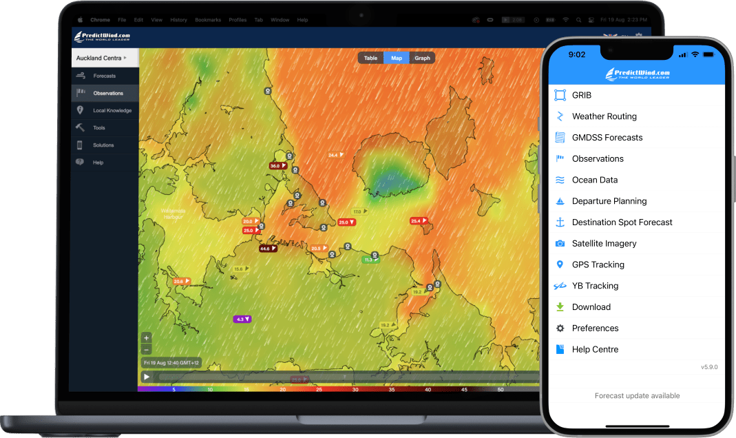
Over 20,000 Observations globally, on land and at sea. View observations in your area in Map, Table and Graph format.
Find the quickest or safest route on your next trip, with the wind & wave conditions along the route. PredictWind has the world’s finest cloud based weather routing service. Simply drag the start and end waypoints on the map, and the PredictWind server will calculate the fastest route or the safest route for your trip.
See your weather route overlaid on the Ocean currents to see how to best approach areas of current. Compare your routes with the Mercator, RTOFS and HyCom global models and High Resolution currents where available.
What is the best day to depart on your next coastal or offshore passage? You will be spanning different weather patterns, and this powerful tool will quickly summarize the wind conditions you will encounter if you left on Day1, Day2, Day3, or Day4. Simply drag the start and destination waypoints on the map and the weather routing algorithm will summarize the forecast wind data for the next 4 days of departure.
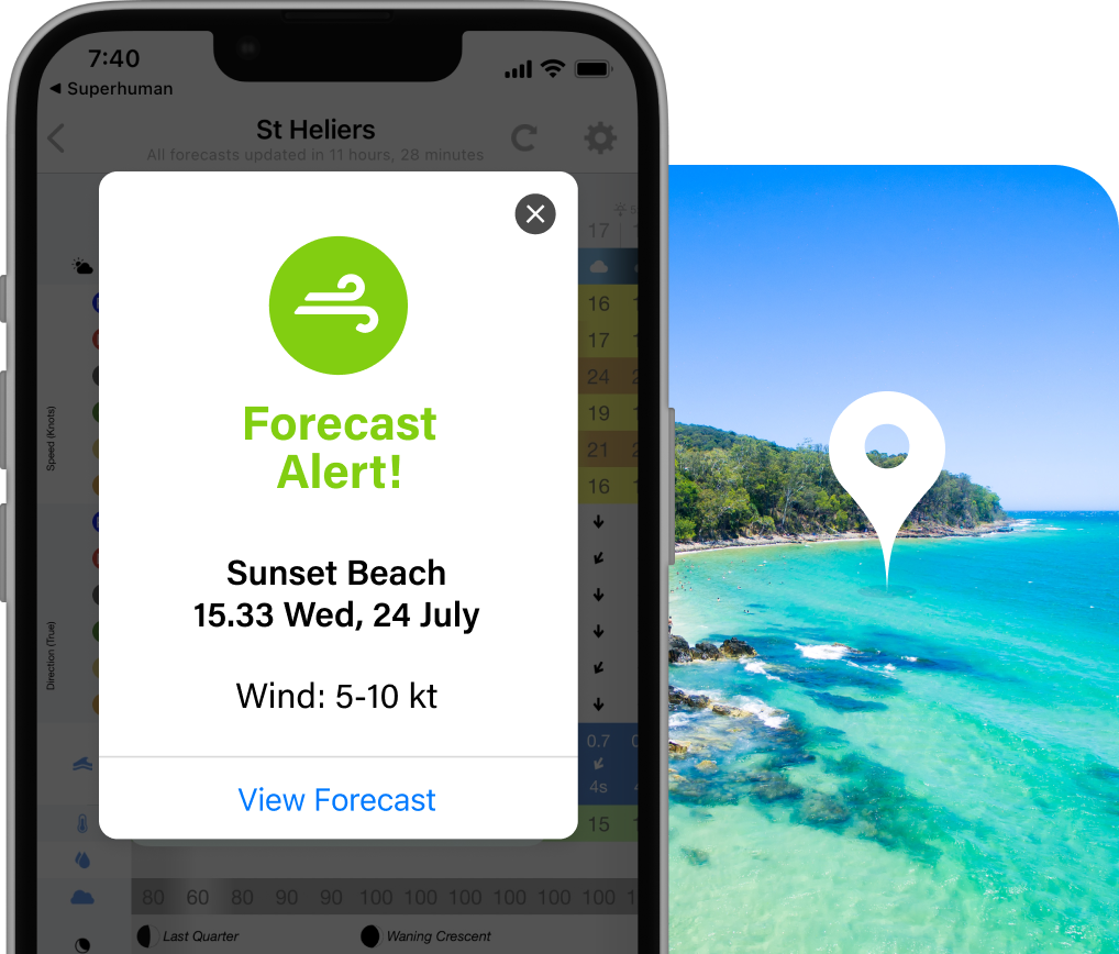
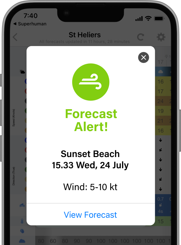
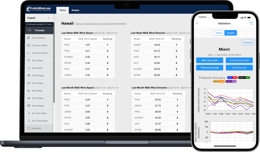
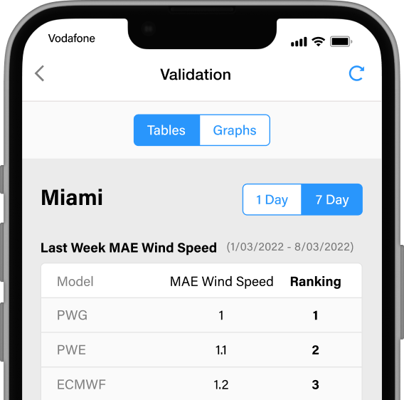
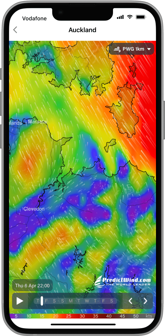
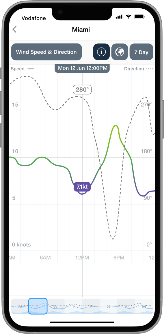
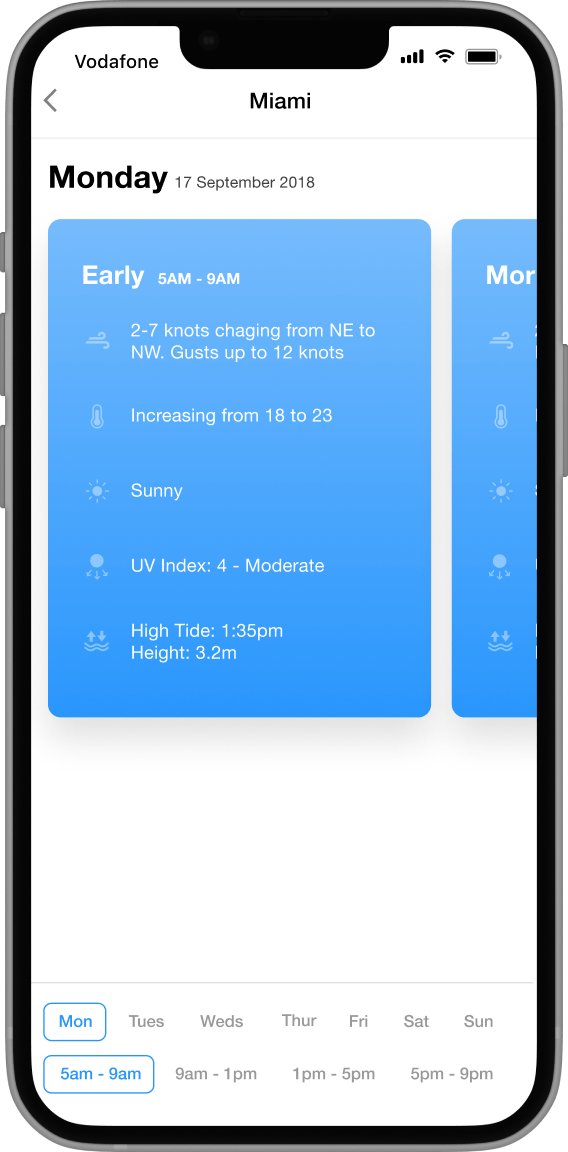
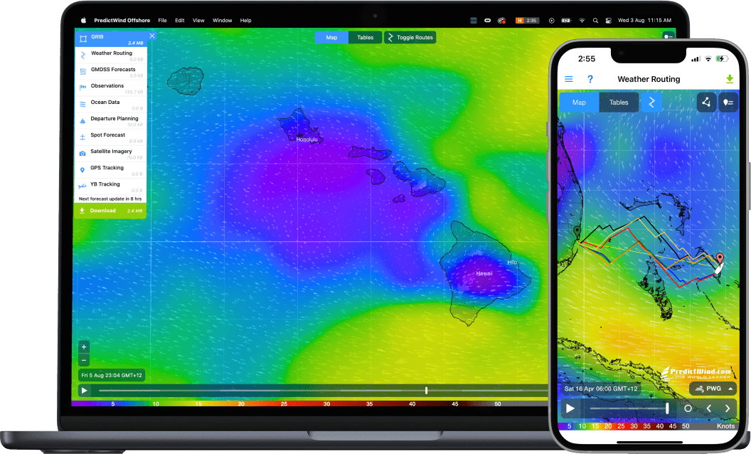
All PredictWind world leading forecasts and tools are available on mobile apps in addition to the forecast website.
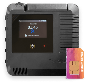
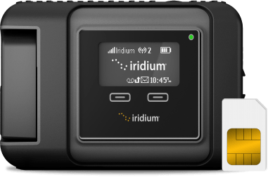
See All PredictWind AppsStay connected anywhere in the world with Iridium GO!™. Compact, rugged and reliable global connection with your own smartphone, laptop or tablet.
Learn More About Iridium GO!
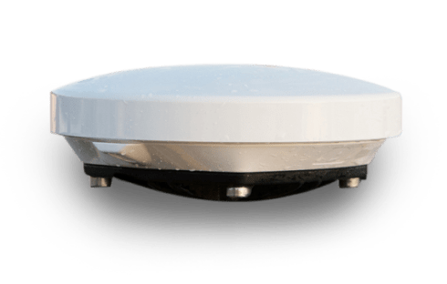
The YB3i is the ultimate GPS tracking device, and now affordable for every boat. Powered by Iridium technology for full GPS tracking coverage anywhere on the planet.
Learn More about YB3i
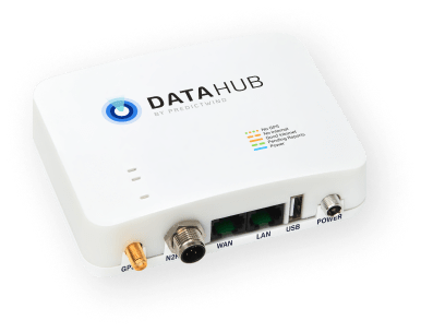
Track, blog, connect and save all your onboard data sources with the DataHub by PredictWind. In Additional to highly accurate GPS tracking, it’s packed full of extra features including wind data, GPS & internet sharing, boat polars, data logging and remote support.
Learn More About the DataHub
The updated Offshore App from PredictWind is the ultimate tool for getting and viewing forecast information offshore.
Learn more about the Offshore App