Global Models
Regional Models
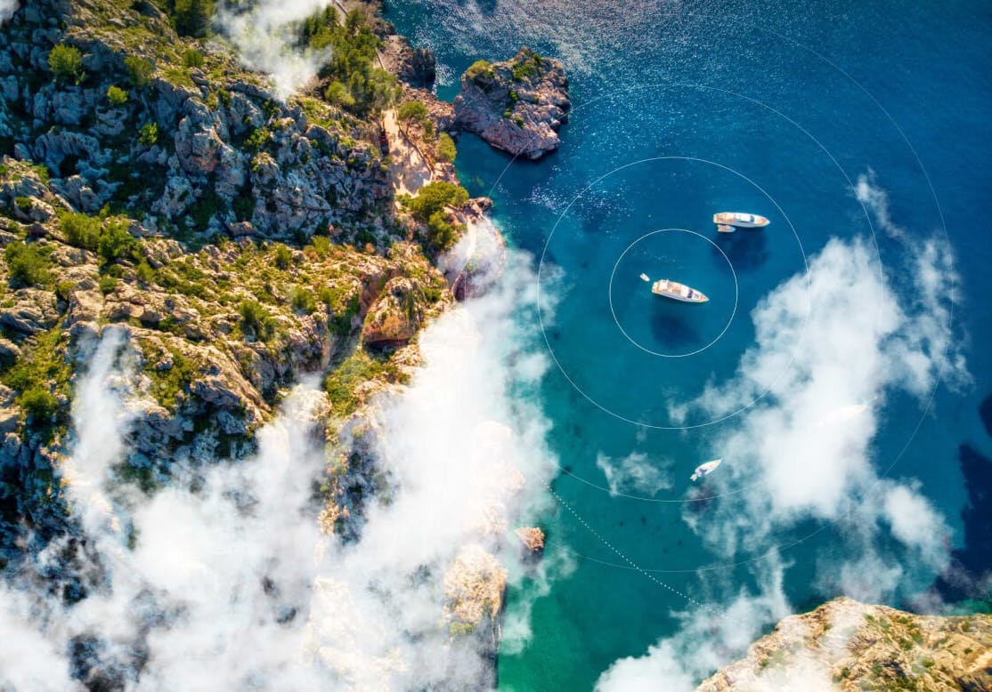
Outstanding accuracy
Our exclusive PWE & PWG forecasts deliver proven, high-resolution accuracy. PWAi, our advanced AI model, references four leading global models for exceptional short-range precision and offshore accuracy.
Read about who uses our models to get an insight from the experts.

Powerful marine tools
In addition to forecasts, we offer the most powerful marine tools on the market to make your time on the water simpler, safer and more efficient.

Weather Alerts
Get notified when conditions are perfect

Departure Planning
Let us find you the best date to depart

Live Weather
Over 20,000 live observations

Weather Routing
Optimal routes every time

The world’s best global models
We offer the leading global models so you can have complete confidence in the forecast.
- Resolution: 9km
- Range: 10 Days
- Time step: 1 Hour
- Update frequency: 12 Hourly
- Resolution: 25km
- Range: 15 Days
- Time step: 6 Hour
- Update frequency: 6 Hourly
- Resolution: 15km
- Range: 7 Days
- Time step: 1 Hour
- Update frequency: 12 Hourly
- Resolution: 25km
- Range: 10 Days
- Time step: 1 Hour
- Update frequency: 12 Hourly
- Resolution: 8km
- Range: 7 Days
- Time step: 1 Hour
- Update frequency: 12 Hourly
- Resolution: 8km
- Range: 7 Days
- Time step: 1 Hour
- Update frequency: 12 Hourly
- Resolution: 25km
- Range: 10 Days
- Time step: 1 Hour
- Update frequency: 6 Hourly
- Resolution: 13km
- Range: 7.5 Days
- Time step: 1h (0-72h) then 2h
- Update frequency: 3 Hourly
The Spire model has been removed as it is being deprecated by Spire.
High-resolution regional models
Our regional models provide short range, high resolution forecasts for selected regions around the world. Find out what resolutions are available in your area by viewing our Global Coverage
- Resolution: 1km
- Range: 1.5 Days
- Time step: 1 Hour
- Update frequency: 12 Hourly
- Resolution: 1km
- Range: 1.5 Days
- Time step: 1 Hour
- Update frequency: 12 Hourly
- Resolution: 2km
- Range: 5 days
- Time step: Hourly for days 1 & 2, then 3 hourly
- Update frequency: Hourly for 0-12h , 6 hourly for 13-48h, 12 hourly for 48h+
- Resolution: 3km
- Range: 18 hours
- Time step: 1 Hour
- Update frequency: Hourly
- Resolution: 1.25km
- Range: 42 Hours
- Time step: 1 Hour
- Update frequency: 00z, 03z, 06z, 12z, 18z
- Resolution: 5km
- Range: 84 Hours
- Time step: 1 Hour
- Update frequency: 6 Hourly
- Resolution: 7km, 2km
- Range: 5 days, 2 days
- Time step: 1h (0-35h) then 2h, 1h
- Update frequency: 3h, 3h

Wave Models
The WAM model from ECMWF is run at an incredible 14 km resolution globally, and is currently rated the best wave model from any national weather centre.
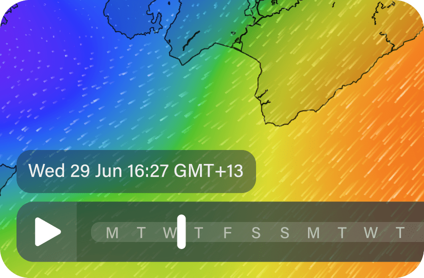
Hour by hour forecasts
Most marine forecasts give you a generalised forecast in the morning or the afternoon. We show wind and weather updates every hour, with accurate, highly detailed weather maps for your entire local area.
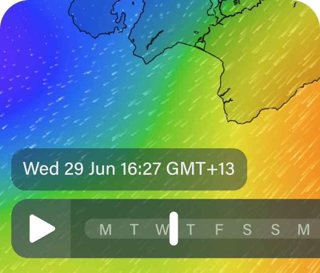
Hour by hour forecasts
Most marine forecasts give you a generalised forecast in the morning or the afternoon. We show wind and weather updates every hour, with accurate, highly detailed weather maps for your entire local area.
Our Process


Model Physics
PredictWind uses the open source Conformal Cubic Atmospheric Model (CCAM) to generate PWG/PWE weather forecasts based on different initial conditions and domains that are