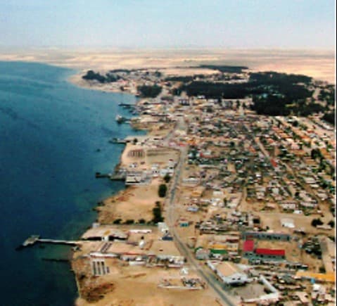
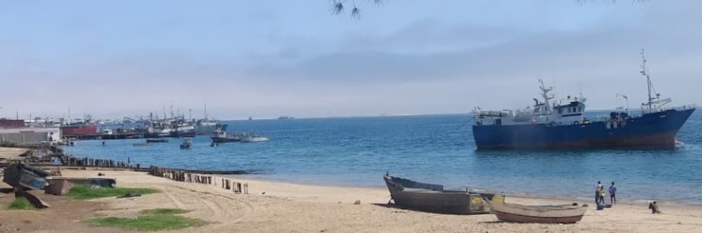
About Tombua, Angola Marina
Sandstone cliffs (134ft high) form the Eastern extremity of Port Alexander. This port forms a commodious harbour where vessels may lie in perfect safety at all seasons of the year. The peninsula forming the West & North side of the port is a low steep sandy tongue, terminating in Bateman Point in Lat 15 47' 30" S Long 11 52' 45" E, whence the mouth of the port is 4/5 of a mile across. A few natives are occasionally seen in this locality, but they are miserable in appearance & very shy. Plenty of fish may be caught with the seine, & good fresh water may be obtained on the South side of the port by digging.
Facilities
 Water
WaterWeather Forecast
Sun
5AM - 9AM
12 July 2026
 S 4 knots.
 14°C
14°C SW 0.7m at 11s period
 UV Index: 0 - Low
 Mostly fine
Sun
9AM - 1PM
12 July 2026
- S 3 knots increasing to W 6 knots.
- 14 to 19°C
- SW 0.7m at 11s period
- UV Index: 6 - High
- Mostly fine
Sun
1PM - 5PM
12 July 2026
- SW 7 knots increasing to 12 knots.
- 18°C
- SW 0.8m at 9s period
- UV Index: 6 - High
- Sunny