About Montauk Marine Basin
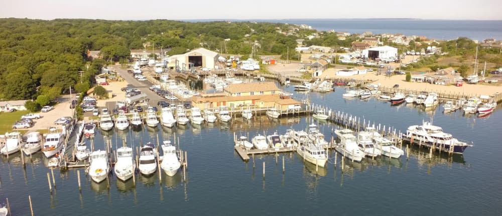
Located only minutes from Montauk Inlet, when entering harbor going past the commercial fleet stay to the right (Western Heading) and look for the Montauk Marine Basin fuel dock sign. Pictured here is the harbor entrance looking north east. Montauk Marine Basin monitors VHF Channel 19. Call us for berth info, fuel dock clearance or a radio check. We are close to motels, restaurants, golf, tennis, horseback riding, boat rentals, shopping, and best of all great beaches. Montauk Marine is very close and within walking distance of the Gosman's Dock complex. Boaters even stay at Montauk Marine for afternoon and browse the shops and have a great lunch at nearby restaurants such as Swallow East,Daves Grill , Sammys and Manuccis All within a short walking distance of Montauk Marine Basin.
Facilities
 Electricity
 PetrolDiesel
 Water
Water Wifi
Wifi Showers
 Sewage
 Toilets
 Food
Food Bar
Bar Boatbuilder
 Laundry
 Haulout
 Supermarket
Port Information
Telephone
Berth Sizes
Manoeuvrability
Channel Marking
VHF Channel
Port of Entry
Overseas Visitor Berths
Dock Type
Style Stern To
Active Winter
Weather Forecast
 NW 2–6 knots.
 19°C
19°C S 0.5m at 7s period
 UV Index: 0 - Low
 Cloudy
- NW 3 knots increasing to SW 7 knots.
- 19 to 21°C
- S 0.5m at 7s period
- UV Index: 3 - Moderate
- Cloudy
- SW 6–10 knots.
- 20 to 22°C
- S 0.5m at 7s period
- UV Index: 2 - Low
- Cloudy