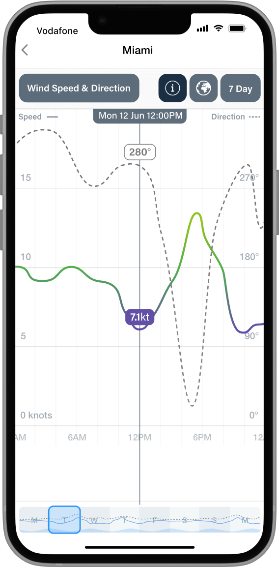
The best forecasts to make better decisions.
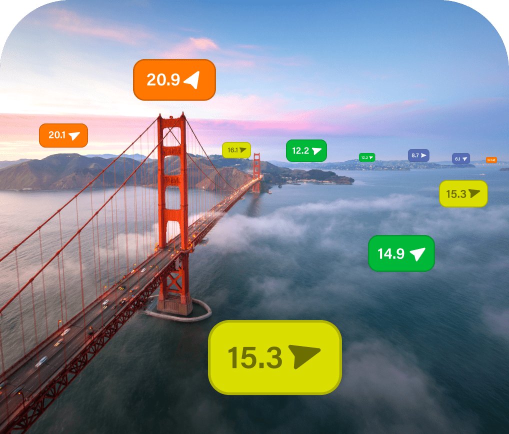
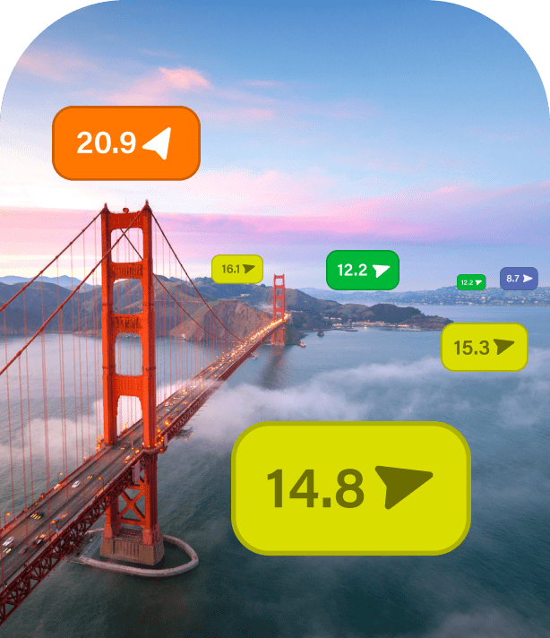
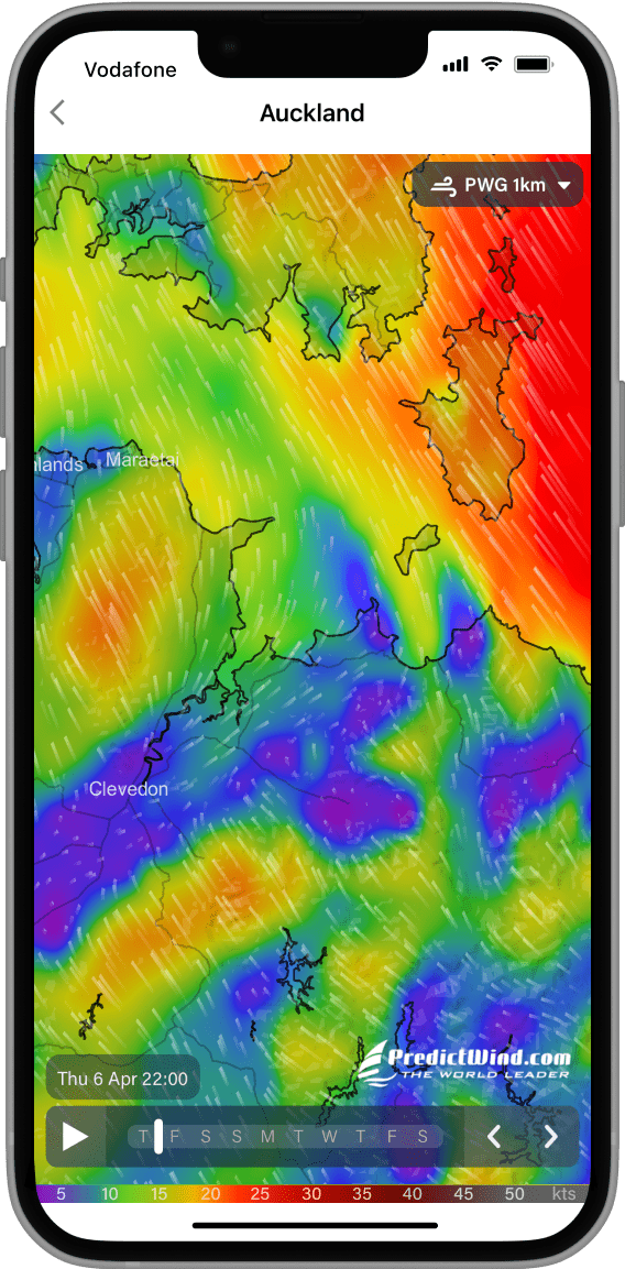
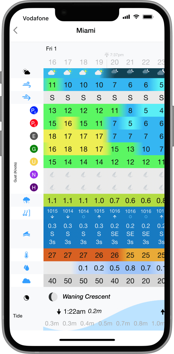
Get unparalled accuracy with the top ranked global forecast models, including our own PWG & PWE coastal forecasts, down to an incredible 1km resolution. Along with NAM, HRRR and AROME, these models accurately predict sea breezes and geographic wind affects.

Hi-res Maps
Experience unrivalled accuracy and detail like never before. Select from our extensive range of forecasts below.
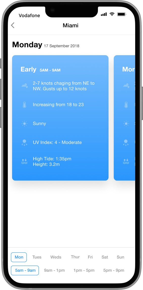
Know before you head out
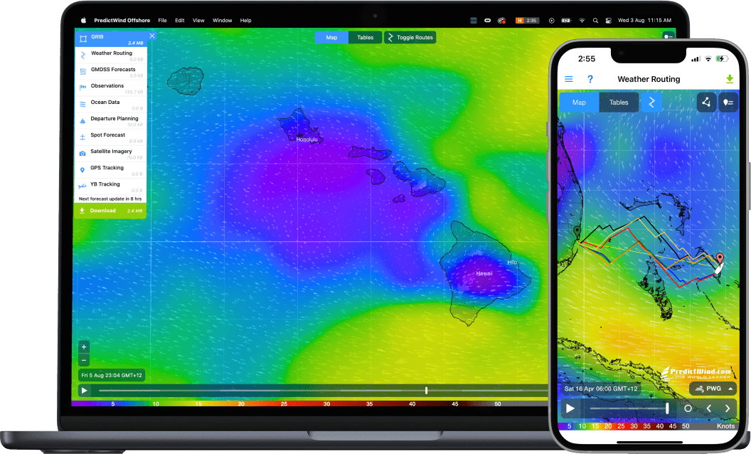
Efficient routes, every time
Set your start and end points and Weather Routing plots an optimised route through the wind, waves and current for safety, speed or comfort.
View the Technical Report for more info.
Find out more

Get on the water with less admin
Day 1
Day 2
Optimal
Departure
Day 3
Day 4

Day 1
Day 2
Optimal
Departure
Day 3
Day 4

Learn from the locals


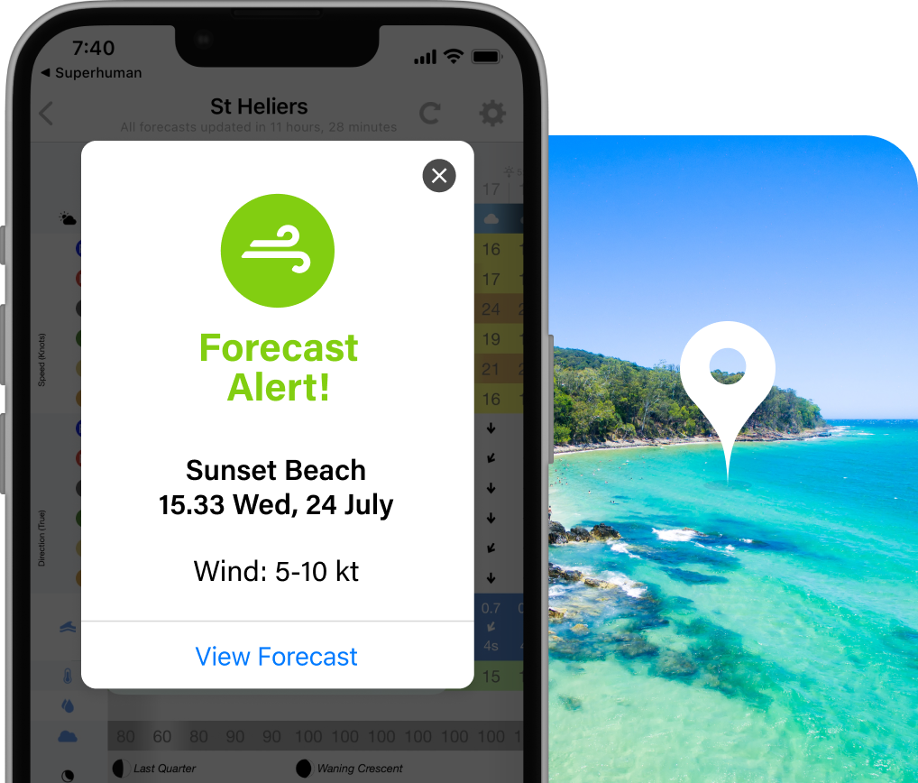
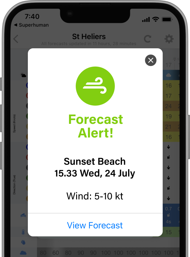
Get notified when conditions are perfect
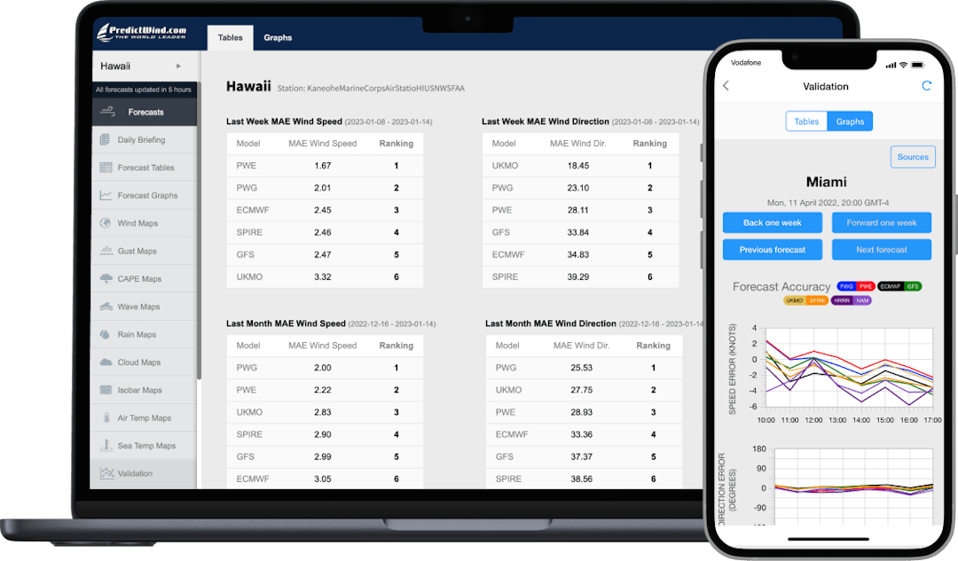
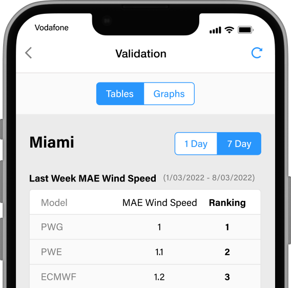
See model accuracy rankings
The Validation tool directly compares the forecast with weather station observations to show the errors in both wind speed and direction, and then ranks the models accordingly.
See model accuracy rankings
The Validation tool directly compares the forecast with weather station observations to show the errors in both wind speed and direction, and then ranks the models accordingly.
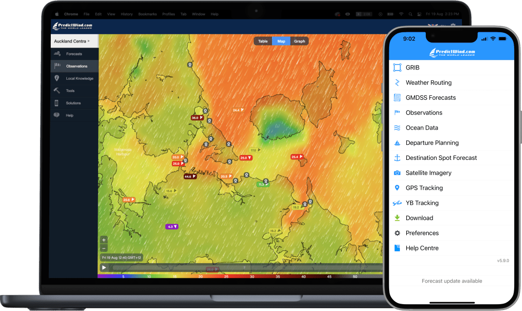
Maps
Weather Data’s never looked so good! View Maps to see animated weather layers with incredible detail.
Apps
Designed for use on cellular and wifi networks.

- For Cellular & WIFI Connections
- Save Locations
- View Data Your Way
- Increased Accuracy

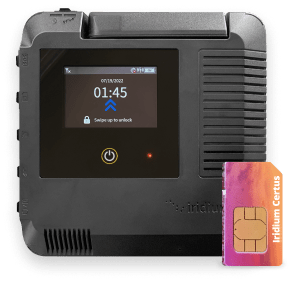
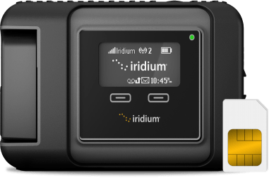
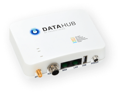
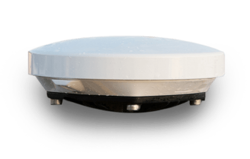
Stay connected offshore with our satellite devices for data, GPS tracking and communications. Buy from us for unbeatable customer support from our team of expert sailors.